MX Processing
N D Oliver & Co Ltd, Chartered Land Surveyors, are experts in the collection, organisation, presentation and delivery of spatial data. The quality of our survey data presentation is a key factor in explaining why over 80% of our work is repeat business. Our clients get what they need and they keep coming back for more.
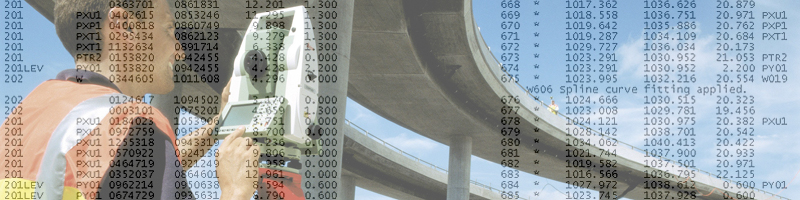
We process our surveys in the latest version of Bentley Mx for AutoCAD. Our Survey Manager, Andrew Pink, has over 20 years experience of processing surveys in Mx (Moss) for a diverse group of clients. Local authorities, highway departments, developers, consulting engineers and civil engineers use this software extensively.
We can provide you with:
» true Mx GENIO files
» full 4 character string labels
» a service to convert Mx GENIO files to AutoCAD
» a service to convert AutoCAD files to Mx GENIO
» earthworks, volumes, volume comparisons, cross-sections, long-sections, contours
» isopachs (surface comparison models), often used for deformation monitoring and also for OGL checking
» visibility displays
» ridges, valleys and flow lines
» grid transformations, typically
OS to Local or site Local or site to OS
View samples of our work and see for yourself.
Contact us today to discuss your needs.
